


Modeling and Inversion
The processed data are used to derive images of the underground structures.
 We developed a series of 1-D, 2-D and 3-D modeling and inversion tools in magnetotellurics. The general approach is based on a coarse-to-fine modeling technique with a final result that reflects the resolution of geological targets in the model. The Inversion may be either constrained or unconstrained and deals (in 2-D and 3-D) with static shift effects as well as inhomogeneous distribution of data set.
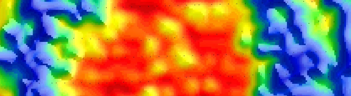
The core of our expertise is in our robust full tensor 3D MT data inversion scheme with a coarse-to-fine lattice parametrisation approach. The technique was developed to provide a detailed geological image of sedimentary basins in complicated geological contexts such as thick basaltic screen covers. The 3-D inversion technique is based on an iterative procedure to minimize a misfit function between the observed data and the model response using a non-linear steepest gradient method with a regularization term. The data is the MT tensor (the four complex components and tipper when available) at all available frequencies and at all sites.

The 3-D model is parametrized by blocks. The size and the initial meshing of the 3D volume are determined according to the MT sites distribution and the depth of investigation of the data. The grid used for the inversion is different from the grid used for the forward calculation. The main objective of modeling is to provide a response that fits well the data. The coarse-to-fine approach enables to adjust the structure of the model parameters (the inversion grid) to match accurately the data set. The number of parameters is adapted to the actual number of data and fully flexible in terms of site/frequency distribution, hence providing accurate 3D structures resolution information.